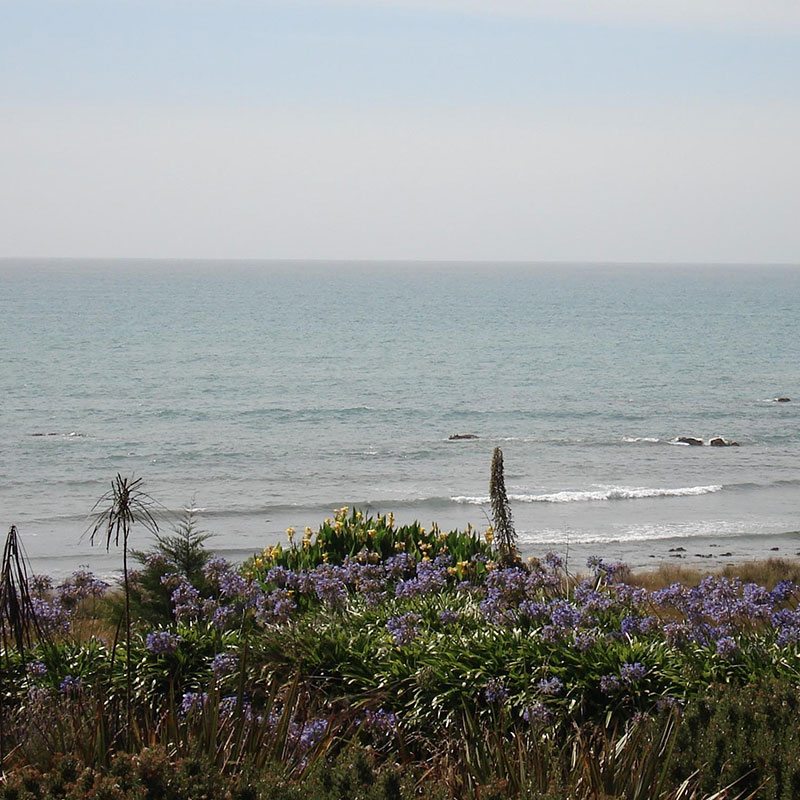
The Beach & The Sea
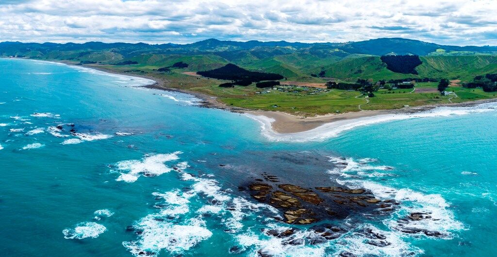
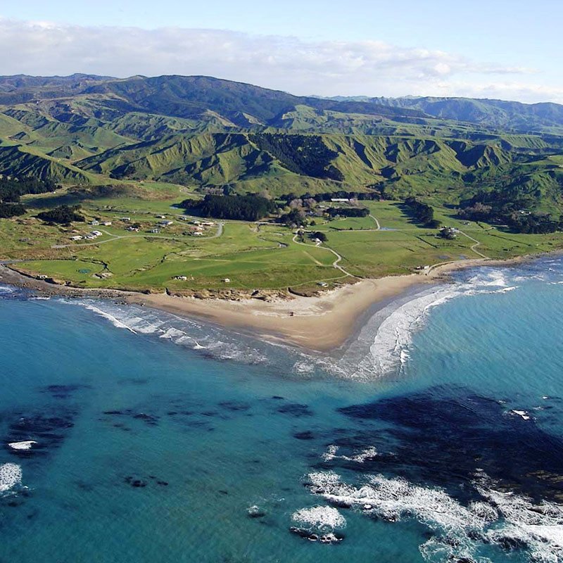
The Name Flat Point has been described by some as an anomaly of terms because they ask how can a point on the coast be flat? It is really only when one views Flat Point from the sea approaching from the south as Captain Cook did on February 11th 1770 that it is clearly apparent why he named it that.
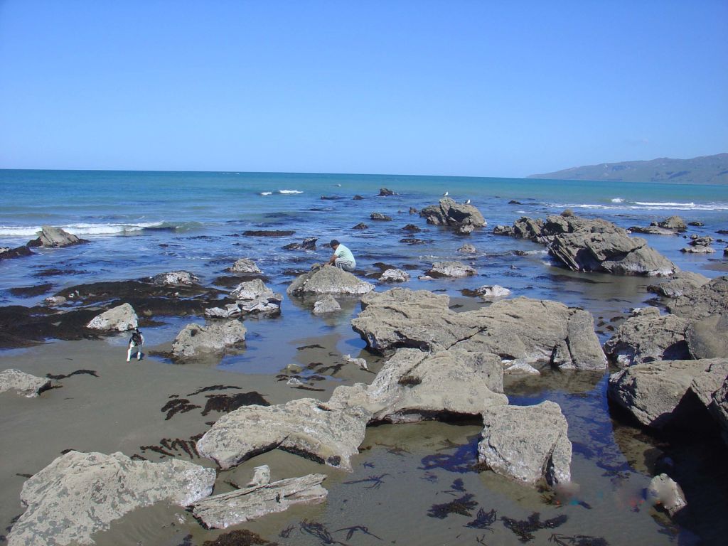
The low 500 metre extension of flat land that reaches from the coastal hills to end in a blunt sandy beach and low dunes is protected from erosion by the large close offshore mass of partly submerged rock that forms Flat Point Reef. At low tide the expansive exposed reef area adds to the Flat Point appearance.
Flatpoint Reef
The presence of the reef is one of Flat Point’s greatest assets in that it provides the protection on the sandy beach for boat launching in the reef’s shelter even in moderate to rough swell conditions. The same phenomena also provides safe swimming conditions with the advantage of finding progressively bigger waves along the beach the further north one goes. This is excellent for children to progress to more difficult play as their confidence grows in the water.
The reef itself provides exhilarating snorkel diving conditions of infinitely varying degree of difficulty and can also be accessed by foot at low tide without getting completely wet. The abundant seaweed growth moves continually with the ocean swells providing occasional glimpses of paua and kina on the rocks and crayfish and reef fish amongst them.
Crayfish are plentiful around the rocks here and can be caught by baited pot overnight or by diving during daytime. Paua is another delicacy which is readily found here. Dolphins are quite common in the waters near the reef and sometimes there will be a seal either on the beach or the reef.


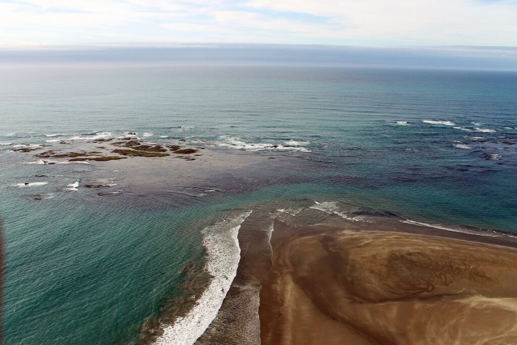
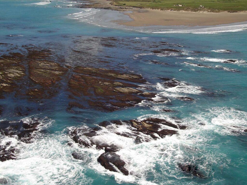
Coastline
The coastline to the north of Flat Point is mainly rocky shoreline with the base of the hills right at the sea. This stretches some 5 kms as far as the Kaiwhata river and in between there are the 1st and 2nd creek outlets and Karaka bay. Between 1st and 2nd creeks there is a steep cliff section which has a gannet nesting colony on it.
To the south of Flat Point there is extensive sandy and at times smooth pebble beach for about 11 kms.
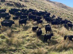
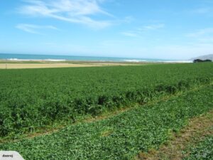
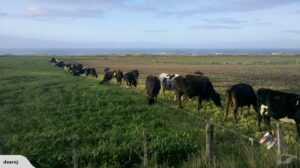
The Station
Flat Point Beach and Reef Point Lodge are surrounded by Flat Point Station a 9000 acre sheep, cattle and cropping property owned and farmed by the McGuinness Family since 1980.
Situated 60kms east of Masterton and Carterton, the property has 9kms of beach frontage and the distance around the boundary is approx. 40kms.
History of Flat Point Station and the McGuinness Family and Flat Point Beach

Local Climate
The climate at Flat Point is generally summer dry mainly because of the predominant north westerly winds that release their moisture over the Tararua ranges and become warmer as they pass over the coast.
The coastal rim is nearly frost free although it is exposed to occasional southerly storms which, while some may see as inclement, are the main catalyst of the ever changing sea and a wild and stormy sea can be beautiful when viewed from the comfort of the land. In fact some of the most pleasant weather conditions experienced in the area are when a southerly storm is dying out and generally the sea water becomes clear at that time because the southerly wind carries no dust.
In the summer the maximum temperature in the shade can reach 37°C and sea water temperature about 18-20°C.
Access
Flat Point is accessed by road from the Gladstone area of the Wairarapa through Te Wharau and travel time from Wellington and Palmerston North is about two hours. Go to the directions page.
For more information about Beach sections for sale please visit the following page: Coastal Beach Sections