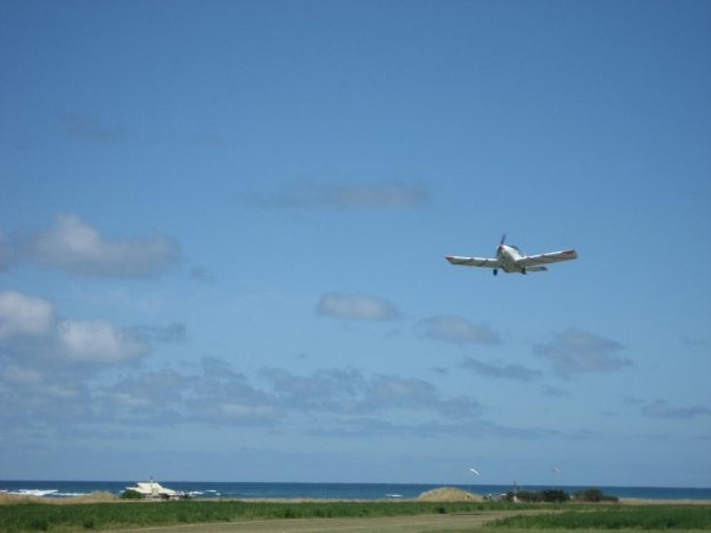
Airstrip (NZFT)
Flat Point Airstrip (NZFT) 119.1 RWY 35 / 17 500m.
GPS: S 41 14.35 E 175 57.37
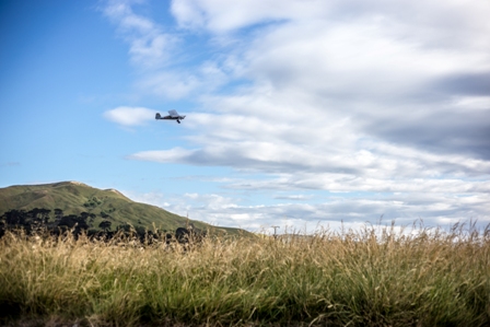
Rwy 17 is not generally suited to r/h approach, otherwise approach is optional. Watch for long lucerne growth on rwy edges. Also turbulence on late final rwy 17 in sw – w / wind. Mean elevation of strip is 20′ asl with a rising gradient south to north of 20′ over length. Area is prone to nw – w gale force wind giving severe low level turbulence.
For local weather conditions see below:
Weather forecast in Flat Point (tides4fishing.com)
Yr – Flat Point – Long term forecast
Or phone 063727527 and ask for John
History of Flat Point Airstrip